We are now able to send goods again to EU countries. Unfortunately, this only applies to paper-based goods.
We are now ABLE to send goods to the USA again. They will be despatched with Duty Paid.
We are now ABLE to send goods to the USA again. They will be despatched with Duty Paid.
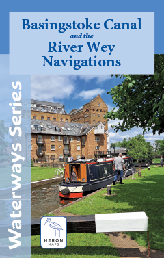
Heron Maps
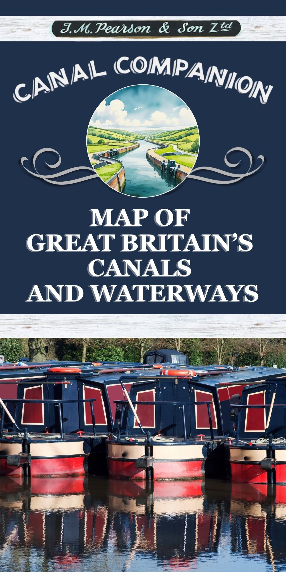
Heron Maps produce detailed maps of the Inland Waterways and canals of Great Britain.
Their maps provide a highly detailed representation of the main waterway, along with information about surrounding areas, at a scale of 1:50000. This includes information about locks, moorings, boatyards, facilities, and nearby pubs.
They also feature information for visitors, such as points of interest, paths, national cycle routes, and amenities.


